Watershed
Location
The Hyde Creek Watershed is located within north Port Coquitlam and the northeast sector of Coquitlam and is approximately 1,118 hectares in area (11.2 km2) with approximately 20.9 km of stream channels. The watershed is divided into four main subwatersheds: Hyde Creek subwatershed, Smiling Creek subwatershed, Watkins Creek subwatershed, and Cedar Creek subwatershed.
Importance of a Watershed
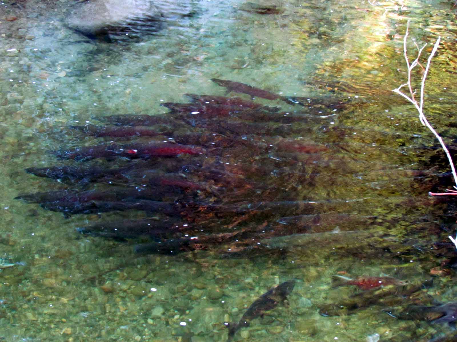
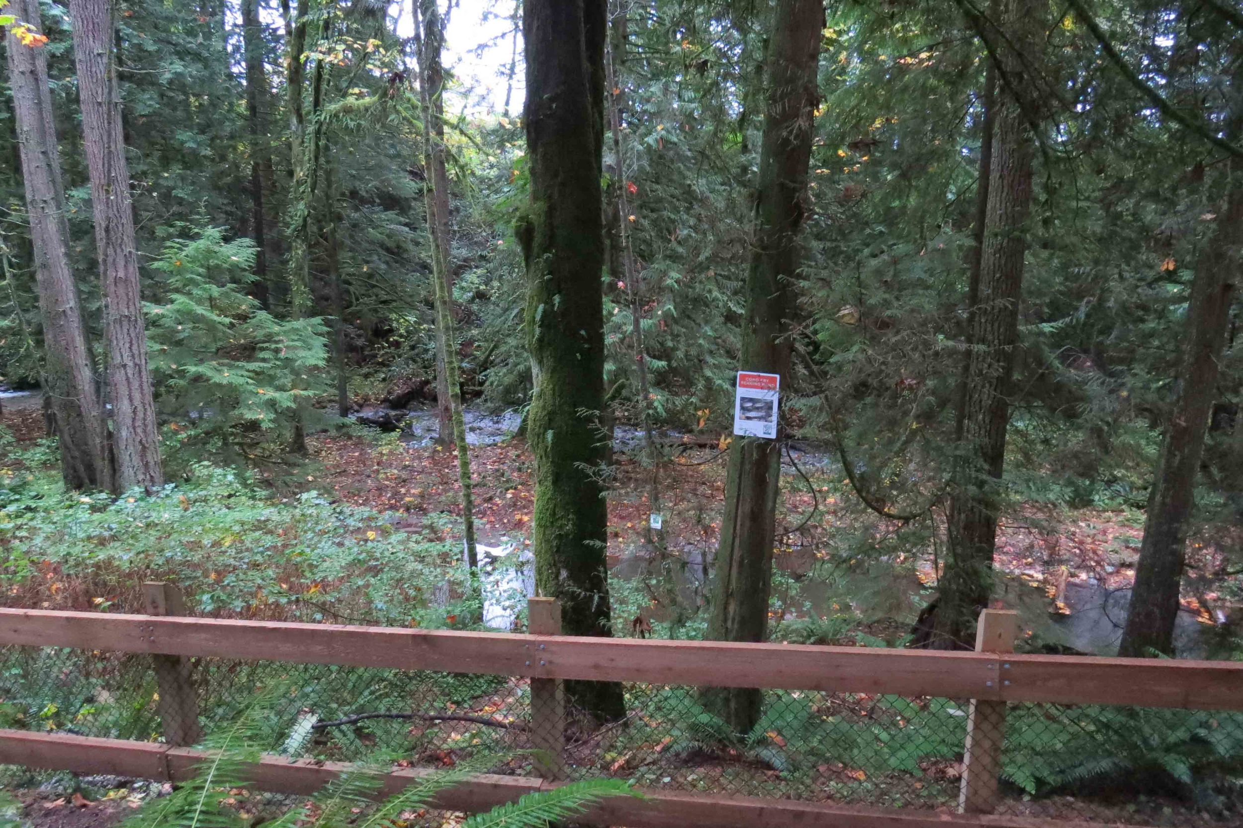
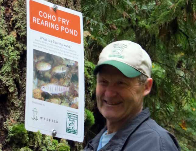
These watersheds support populations of Coho and Chum Salmon, Cutthroat Trout, Steelhead and other fish species, provide valuable habitat for a variety of wildlife, and are used as greenways and other recreational corridors, such as the Traboulay PoCo Trail.
Structure of the Watershed
Maximum watershed elevation is 740 m which is higher than many Lower Mainland urban watersheds. Table 1 presents a summary of key physical attributes of the Hyde Creek watershed and subwatersheds including size, relief, watershed slope and drainage density.
The watershed can be divided into two general units that reflect the separation of the upper and lower watershed by physiography, development patterns, municipal jurisdiction and fish use. The lower watershed is within the City of Port Coquitlam and located almost entirely within the Pitt River lowlands.
Channel gradient is low (<1%) and fish habitat value is high, despite impacts from urbanization. The fish community is more diverse in the lower watershed including a broad range of non-salmonid species associated with the floodplain of the Pitt River.
The flat topography of the lower watershed increases flood potential and has necessitated flood protection measures such as dikes, channel maintenance dredging and pump stations. Flooding has occurred in several areas including Richmond Pland and Birchland, and bank erosion has necessitated channel maintenance in recent years.
The upper watershed is within the northesast sector of the City of Coquitlam and is largely forested with rural residential areas and small hobby farms. Hyde Creek and tributary streams are characterized as mountain streams with channel gradient greater than 5% and substrates dominated by boulder and cobble. The fish community is dominated by resident cutthroat trout.
One watershed or four?
The watershed can also be divided into four main subwatersheds:
Hyde Creek subwatershed;
Smiling Creek subwatershed;
Watkins Creek subwatershed; and,
Cedar Creek subwatershed.
The Hyde Creek subwatershed is located on the western side of the watershed is the largest of the four subwatersheds. The Smiling Creek subwatershed encompasses both East and West Smiling creeks and is approximately half the size of the Hyde Creek subwatershed. Fish habitat values are correspondingly lower.
The Cedar Creek subwatershed is heavily urbanized and the stream channel is affected by channelization, stormwater discharges and lack of riparian vegetation. The Watkins Creek subwatershed is the smallest subwatershed. It originates among the rural residential area surrounding Coast Meridian Road and its headwaters are generally dry during the summer.
Overall the Hyde Creek Watershed has a low to moderate level of watershed urbanization compared to other small watersheds in the GVRD. A recent GVRD study estimated total impervious area (TIA) in the watershed to be approximately 26% and rated the watershed as having good watershed health (GVRD, 1999).
However, the effects of urbanization in the lower watershed has degraded fish habitat by channelization, installation of culverts, changes to hydrology, and loss of riparian forest, particularly on Cedar Creek and Hyde Creek downstream of Coast Meridian Road.
Future development in the Northeast Coquitlam area is anticipated to further degrade Smiling and Watkins creeks and lower Hyde Creek because of changes to hydrology, loss of riparian forest, road crossings and other incremental impacts.
*** Our Society also works within the Partington Creek Watershed (to the east in Coquitlam).
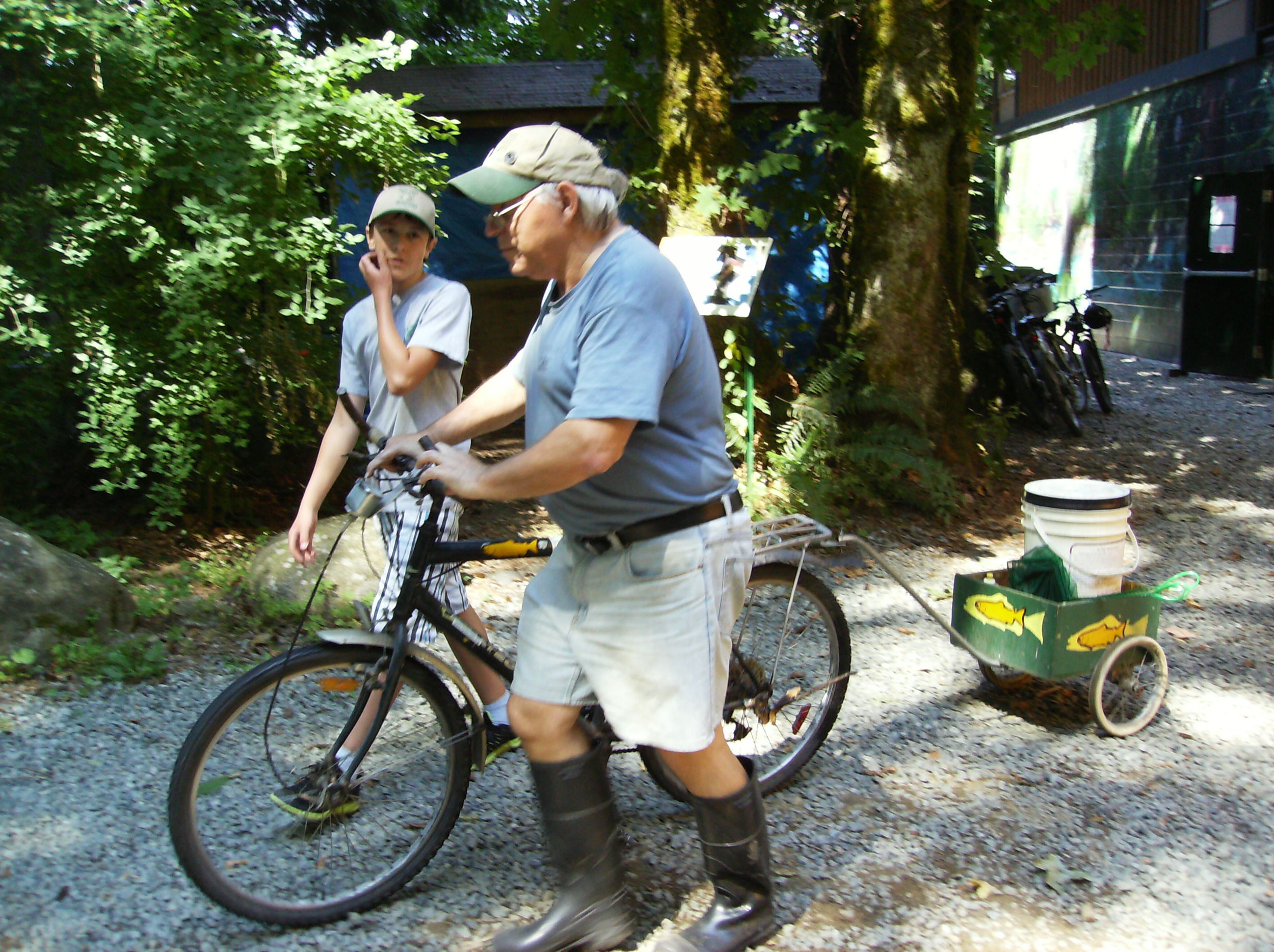
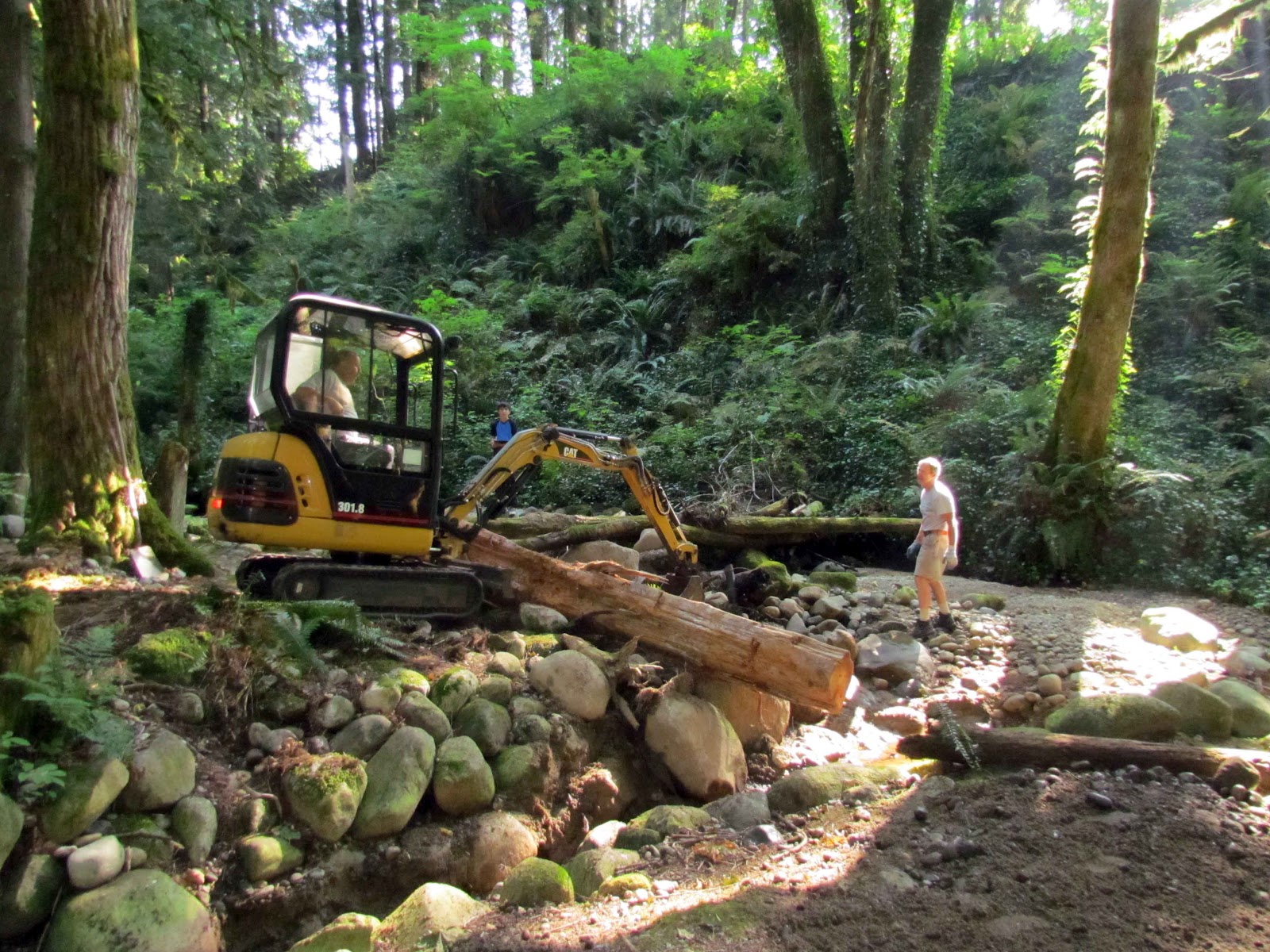
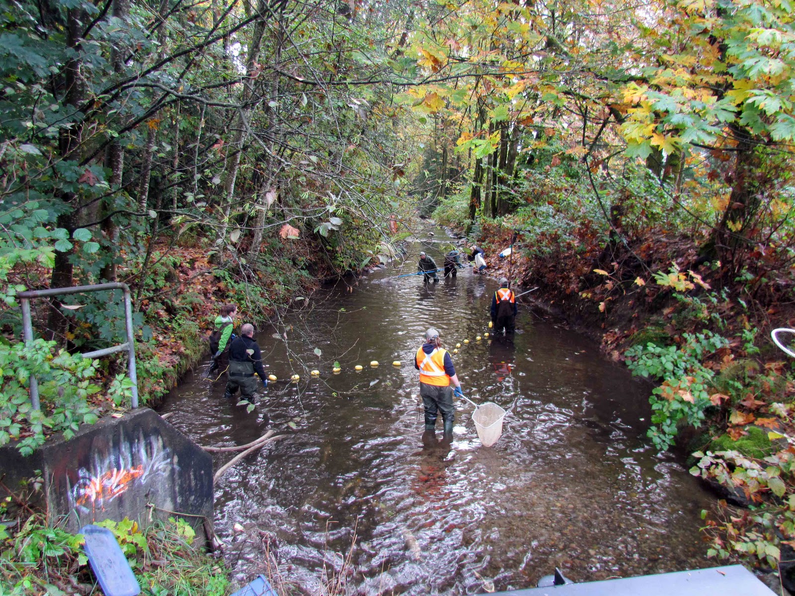
Click on the image to view watershed images and our activities in it.
![5s[2].jpg](https://images.squarespace-cdn.com/content/v1/546fce95e4b0c229cda45fa1/1421217856206-N1WMBP53CQJ9L19VHCT4/5s%5B2%5D.jpg)